

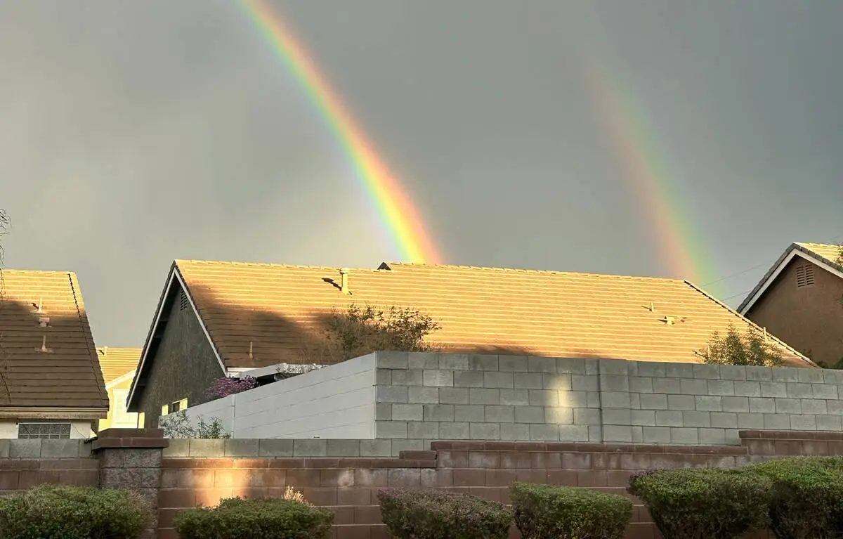
Strong thunderstorms hit Henderson and parts of the south valley on Monday, one day after the remnants of Tropical Storm Rachel soaked Las Vegas with record-setting rainfall Sunday morning. The National Weather Service reported scattered showers and isolated thunderstorms pushing northeastward across the region, with chances of light-moderate showers continuing through sunset and locally heavy rain underneath thunderstorms.
Monday’s high at Harry Reid International Airport was 73 degrees, 10 degrees below normal. Tuesday’s forecast high is 65 degrees, with a small chance of rain in the morning as a cold front passes through Southern Nevada. Dry conditions and cooler-than-normal temperatures, with highs around 70 degrees and lows in the 50s, will remain through the rest of the week.
Las Vegas has already broken the daily record for rainfall and tied an all-time record for the month of October due to Rachel’s storms. The remnants of Tropical Storm Rachel are expected to bring showers to Southern Nevada beginning late Saturday night and into Sunday, with showers and storms forecast for Sunday, Monday and Tuesday.
Henderson Fire Department’s technical rescue team removed one person from a stalled vehicle in the area of Moonwalk Terrace and East Paradise Hills Drive. A wave of thunderstorms swept into the valley from the west Monday evening, blanketing most of the valley with at least a few showers.
Sources: Las Vegas Review-Journal
Original reporting: Las Vegas Review-Journal →



 English (US)·